05 Mar 14:04
by Keir Clarke
NPR has been investigating how rising sea levels are causing coastal erosion in the city of Saint-Louis, Senegal. 75% of Senegal's coastline is at risk of coastal erosion and, in recent years, some neighborhoods of Saint-Louis have already experienced devastating floods. In Disappearing Saint-Louis NPR has used a series of maps to show how Saint-Louis is located precariously between the
04 Dec 13:15
by Keir Clarke
Go Inside the Great Pyramid of Giza is an amazing virtual 'Street View' tour of the normally closed inner chambers of the Khufu Pyramid in Egypt. This guided tour allows you to explore the interior three chambers of the pyramid, including the King's Chamber, the Queen's Chamber and the subterranean chamber, which is cut into and decends into the bedrock below the pyramid itself.
The Khufu
05 Nov 23:53
by Keir Clarke
The popular Pla@ntnet website can help you identify the species of any plant just by submitting a photograph of the plant. Pla@ntnet has now also released a new interactive mapping tool which can list all the different species of plants that can be found in any chosen area.GeoPl@netNet is a simple tool which allows you to draw an area on an interactive map to discover which species of plants
05 Nov 23:53
by Keir Clarke
The 2022 30DayMapChallenge begins tomorrow (1st Nov). The idea behind the 30DayMapChallenge is to create a map around a different theme every day of November. You can use any tools or technologies that you want to create your maps (and of course there is no actual requirement that you have to make a map every single day). You can view a calendar showing each day's unique theme on the
16 Oct 18:58
by Keir Clarke
Nicholas Lambert has created an excellent demonstration of how easy it is to lie with maps. His interactive visualization of France's national strike allows you to customize the appearance of the turnout based on your own political persuasion. The map helps to underline the truth that design choices made when creating data visualizations can have profound effects on the messages that they
02 Oct 02:12
by Keir Clarke
You can find out how well you know the extent of your neighborhood by playing Axios' new interactive boundary drawing game. In Draw Your Neighborhood you are asked to draw an outline on a map to show where you think your neighborhood boundary lies. Once you have drawn the boundaries for a few of your city's neighborhoods you can compare how well your local knowledge compared to other Axios
02 Oct 02:12
by Keir Clarke
At the weekend I released an annotated translated version of the Borgia Mappa Mundi, a German map of the world which was made around the middle of the 15th Century. This annotated version of the map was very easy to make using my Leaflet-IIIF-GeoJSON web application.
Leaflet-IIIF-GeoJSON allows you to view and annotate IIIF images in a Leaflet.js interactive map. With Leaflet-IIIF-GeoJSON you
18 Sep 01:04
by Keir Clarke
Temperatures in some parts of the Arctic this year have risen as much as 30C. Because of global heating the Polar Jet Stream is slowing down, which in turn can lead to extended punishing heat waves in the Arctic. Another effect of global heating is an increase in lightning strikes in the Arctic.
This combination of extreme high temperatures, slower air circulation, and increased lightning
28 Aug 12:09
by Keir Clarke
500 years before the birth of Christ the city of Persepolis served as the capital of the largest empire in the world. Today what is left of the city is mostly architectural ruins. It is therefore now hard to imagine the magnificence and splendor of what was once one of the most awe-inspiring cities on Earth.Luckily you now don't have to imagine what Persoplis used to look like because the Getty
24 Jun 20:56
by Keir Clarke
the shifting borders of the Holy Roman Empire from 1000-1750
Point in History is an interactive map which allows you to explore country and regional borders over time. The map uses historical boundaries data from the Historical Boundaries Project in order to show how the boundaries of countries around the world have developed and changed through history.If you click anywhere on the map a

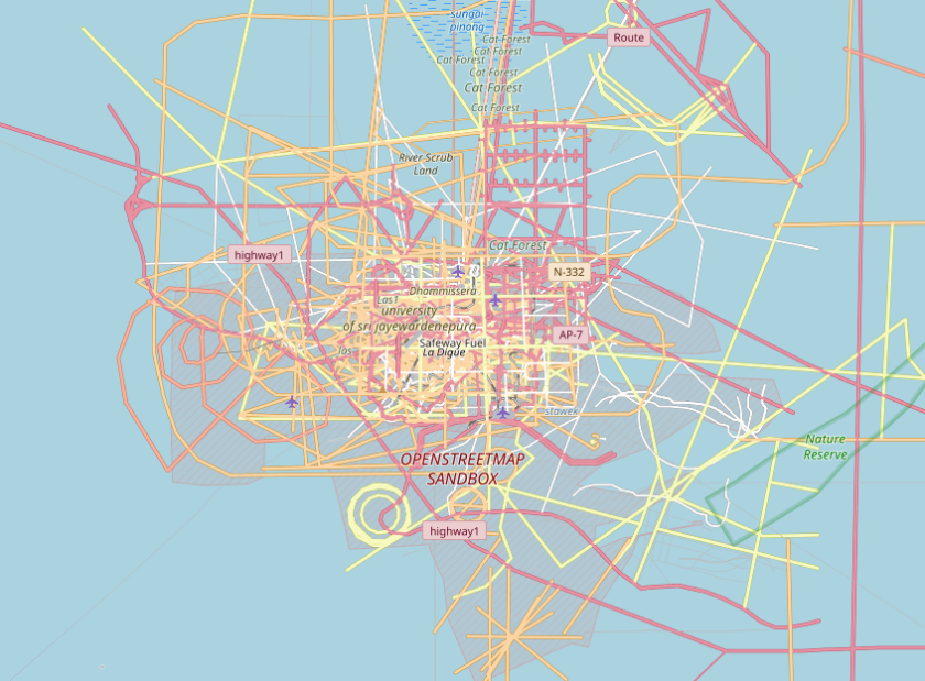
 his approach in planning a bike or hiking route along a specific path, for example a river, with the help of OpenStreetMap.
 ‘SonarVision’, a navigation app for people with disabilities.


 ►
► how Overpass can be used in geospatial intelligence.


 Alex McPhee’s ridiculously detailed
